Catalog Archive
Auction 179, Lot 316
"Sketch of the Public Surveys in the State of Wisconsin", General Land Office
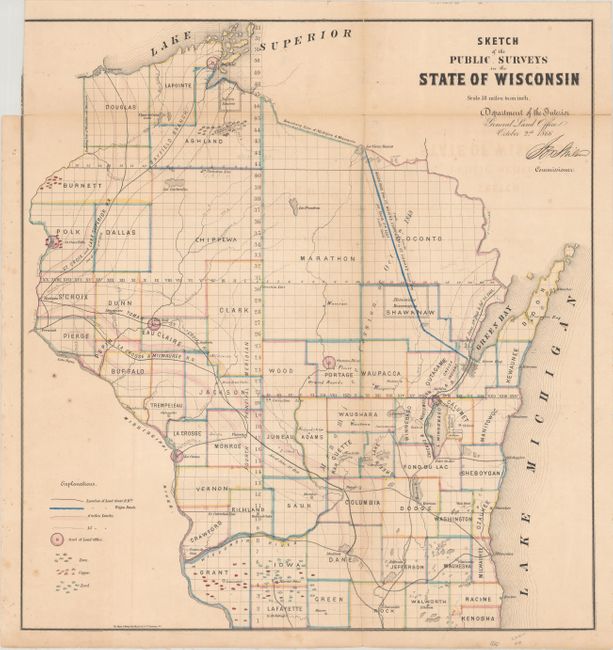
Subject: Wisconsin
Period: 1866 (dated)
Publication:
Color: Hand Color
Size:
16.3 x 17.3 inches
41.4 x 43.9 cm
Download High Resolution Image
(or just click on image to launch the Zoom viewer)
(or just click on image to launch the Zoom viewer)