Catalog Archive
Auction 179, Lot 160
"Les Etats Unis d'Amerique", Herisson, Eustache
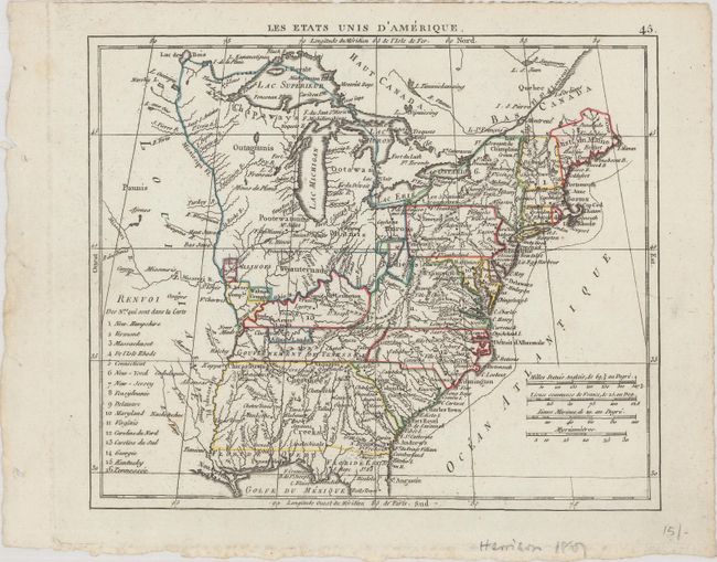
Subject: Eastern United States
Period: 1806 (circa)
Publication: Atlas Portatif
Color: Hand Color
Size:
8.4 x 7 inches
21.3 x 17.8 cm
Download High Resolution Image
(or just click on image to launch the Zoom viewer)
(or just click on image to launch the Zoom viewer)