Catalog Archive
Auction 179, Lot 103

"Map of North America, Exhibiting the Recent Discoveries. Geographical & Nautical", Wyld, James

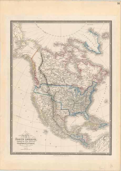
Subject: North America, Texas

Period: 1843 (circa)

Publication: A New General Atlas…

Color: Hand Color

Size:
14 x 18.5 inches
35.6 x 47 cm
Download High Resolution Image
(or just click on image to launch the Zoom viewer)

This finely engraved map is filled with superb details and prominently depicts the independent Republic of Texas in its smaller configuration. In the United States there is a large Missouri territory that encompasses most of the West. Wyld introduced a number of new ideas concerning the watershed in the West with four great westward flowing rivers seeking the sea from the Great Basin. The most prominent is the Buenaventura River that flows from Salt Lake of Teguayo to the Pacific. Further north, the Sacramento River is shown to possibly flow from L. Yentaw noted as probably L. Timpanogos of the Spaniards. In the Northwest, the R. de los Mongas and the McKinley Branch form the headwaters of the Willamette River. Alaska is denoted as Russian Possessions. The British Possessions extend to the Columbia River reflecting the British side of the Oregon Boundary Dispute. The map is surrounded in bold keyboard-style borders.

James Wyld was successor to William Faden, one of the luminaries of late eighteenth century publishing in England. Wyld maintained the high standard of graphic and factual excellence that had been established by his predecessor and his maps are among the finest published in the early nineteenth century.

References: Wheat (TMW) #473.

Condition: A

A strong impression on a bright sheet with a few faint spots and a hint of toning in the blank margins. There are remnants of masking tape along the sheet edges on verso, well away from the platemark.

Estimate: $375 - $450

Sold for: $425

Closed on 9/16/2020

Archived