Catalog Archive
Auction 178, Lot 87

"Il Canada, le Colonie Inglesi con la Luigiana, e Florida", Zatta, Antonio

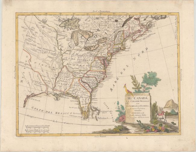
Subject: Colonial Eastern United States & Canada

Period: 1778 (dated)

Publication:

Color: Hand Color

Size:
15.9 x 11.9 inches
40.4 x 30.2 cm
Download High Resolution Image
(or just click on image to launch the Zoom viewer)

This finely engraved Revolutionary War map shows all of the British colonies. It extends to include Nova Scotia, all of the Great Lakes, and westward to name Cenis in Texas. It is filled with early forts, Indian lands, watershed, and limited topography. West of the Mississippi River is the large Luigiana (Louisiana) with the lower English Louisiana shown roughly in today's Mississippi. Florida is oversized and misshapen, extending to the northwest resulting in a small bean-shaped Georgia. In the Midwest is a huge region labeled Ohio Alta Luigiana Inglese that stretches from the Mississippi River to Virginia and Pennsylvania. The area that later becomes the Northwest Territory is not named. An area west of the Carolinas is Cherachesia. Attractive monolith-style title cartouche features indigenous animals, including a peacock. Two distance scales. Blank verso. A great Revolutionary-period map that is dated 1778. Published in either Zatta's Storia dell' America Settentrionaleā€¦ or the fourth volume of his Atlante Novissimo.

References: Rumsey #5007; Shirley (BL Atlases) T.ZAT-1a, Vol. IV #39.

Condition: A

On sturdy watermarked paper with full contemporary color. There are a few negligible spots and a printer's crease in the image. Old tape stains in the top blank margin, well away from map image.

Estimate: $475 - $600

Sold for: $350

Closed on 6/10/2020

Archived