Catalog Archive
Auction 178, Lot 306
"Regni Sueciae in Omnes Suas Subjacentes Provincias Accurate Divisi Tabula Generalis", Homann, Johann Baptist
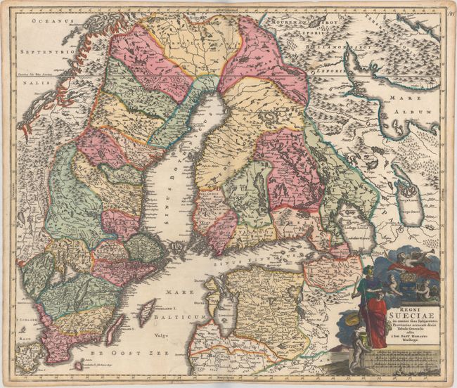
Subject: Scandinavia
Period: 1716 (circa)
Publication: Neuer Atlas uber die Gantze Welt
Color: Hand Color
Size:
22.4 x 19.2 inches
56.9 x 48.8 cm
Download High Resolution Image
(or just click on image to launch the Zoom viewer)
(or just click on image to launch the Zoom viewer)