Catalog Archive
Auction 177, Lot 612
"Persia, Divided Into Its Great Provinces", Dunn, Samuel
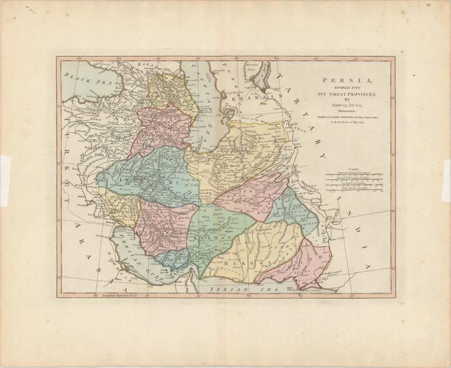
Subject: Persia - Iran
Period: 1794 (dated)
Publication: A New Atlas of the Mundane System...
Color: Hand Color
Size:
17.3 x 12.3 inches
43.9 x 31.2 cm
Download High Resolution Image
(or just click on image to launch the Zoom viewer)
(or just click on image to launch the Zoom viewer)