Catalog Archive
Auction 177, Lot 51

"L'Amerique Suivant le R.P. Charlevoix Jte. Mr. de la Condamine...", Le Rouge, George Louis

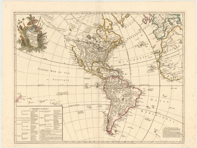
Subject: Western Hemisphere - America

Period: 1774 (dated)

Publication:

Color: Hand Color

Size:
24.9 x 19.2 inches
63.2 x 48.8 cm
Download High Resolution Image
(or just click on image to launch the Zoom viewer)

This fascinating map illustrates some of the most interesting mythical cartography juxtaposed with important new discoveries in North America. The routes of Delisle and Tchirikow are shown in 1741 terminating on a vague island in the approximate location of Alaska. A Northwest Passage (shown by lightly engraved lines) links the Pacific with Hudson Bay where there is a note concerning the British discoveries of 1742. The Riv. de l' Ouest stretches from Lake Superior nearly to the Pacific, based on the reports of the Jesuit missionary, Pierre de Charlevoix. In South America the Amazon River is detailed according to Condamine's expedition. A text table lists the colonial possessions. This is the third state of the map first published in 1746; this edition published by Crepy.

References: McGuirk #15.

Condition: A

A crisp impression on paper with a rosary beads watermark, a small, faint stain at top center, and a printer's crease along centerfold. There is light foxing in blank margins.

Estimate: $400 - $475

Sold for: $300

Closed on 4/29/2020

Archived