Catalog Archive
Auction 177, Lot 388
"Irlande Royaume Divise en ses Quatre Provinces, et ces Provces en Leurs Comtes", Sanson/Mariette
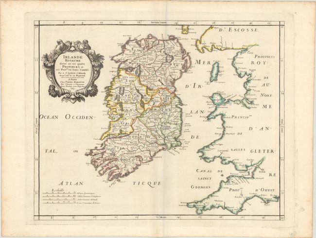
Subject: Ireland
Period: 1665 (dated)
Publication: Cartes Generales de Toutes les Parties du Monde…
Color: Hand Color
Size:
18.9 x 15 inches
48 x 38.1 cm
Download High Resolution Image
(or just click on image to launch the Zoom viewer)
(or just click on image to launch the Zoom viewer)