Catalog Archive
Auction 177, Lot 298
"Carte Reduite des Debouquemens de St. Domingue Dressee pour le Service des Vaisseaux du Roy...", Bellin, Jacques Nicolas
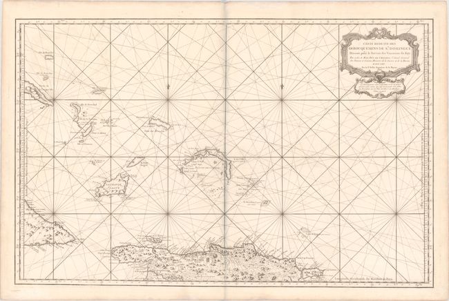
Subject: Northern Hispaniola & Southern Bahamas
Period: 1768 (dated)
Publication:
Color: Black & White
Size:
35.8 x 23 inches
90.9 x 58.4 cm
Download High Resolution Image
(or just click on image to launch the Zoom viewer)
(or just click on image to launch the Zoom viewer)