Catalog Archive
Auction 176, Lot 84

"Karte von der Insel Montreal und den Gegen den Umher nach den Manuscripten der Karten...", Bellin, Jacques Nicolas

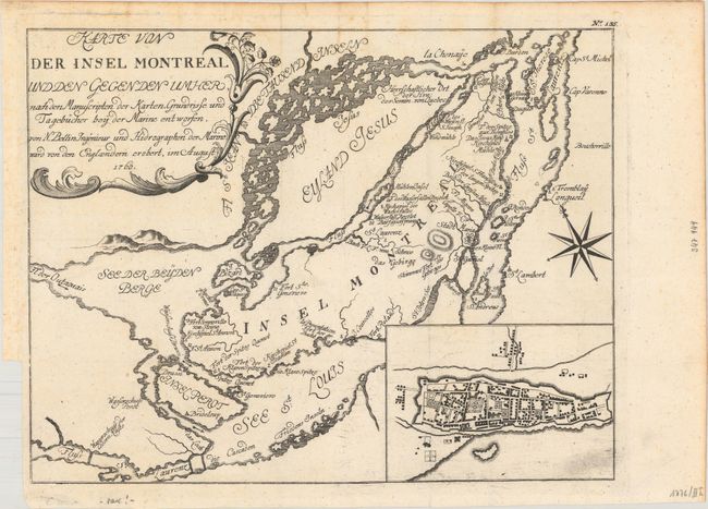
Subject: Montreal, Canada

Period: 1760 (dated)

Publication: Geschichte der Kriege

Color: Black & White

Size:
11.3 x 8.8 inches
28.7 x 22.4 cm
Download High Resolution Image
(or just click on image to launch the Zoom viewer)

This is a German version of Bellin's map of the islands of Montreal and Jesus. Montreal (here Stadt Maria) is depicted as a walled and fortified city. Forts Karen Spitze, Se. Annen, Senneville, Se. Geneviere, Roland, la Chine, etc. are located, as are the surrounding islands of Se. Therese, Ronde, Se. Helen, Perot, and Bizard. This is the second state, published by Korn in 1776, with the additional inset plan of Montreal based on Thomas Jefferys important plan of the city.

References: Kershaw #1107.

Condition: A

A dark impression issued folding on watermarked paper. There is minor scattered foxing, most of it confined to the blank margins.

Estimate: $160 - $190

Sold for: $160

Closed on 2/12/2020

Archived