Catalog Archive
Auction 176, Lot 433
"Partie Septentrionale du Gouvernem? General de Champagne ou se Trouvent le Retelois, le Rhemois, la Champagne Propre, Partie de la Brie et du Pertois, &c.", Robert de Vaugondy, Gilles
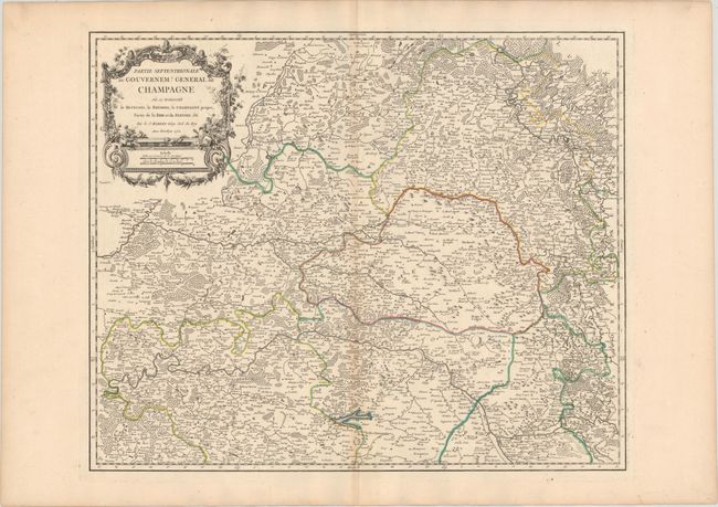
Subject: Northern France
Period: 1752 (dated)
Publication: Atlas Universel
Color: Hand Color
Size:
23.3 x 19 inches
59.2 x 48.3 cm
Download High Resolution Image
(or just click on image to launch the Zoom viewer)
(or just click on image to launch the Zoom viewer)