Catalog Archive
Auction 176, Lot 361

"South Atlantic Ocean", Wilson, Charles (Col. Sir)

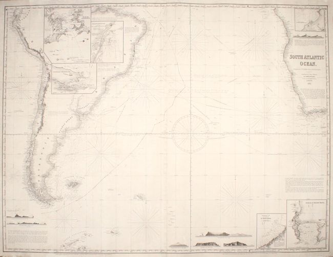
Subject: South Atlantic

Period: 1863 (dated)

Publication:

Color: Black & White

Size:
48.9 x 36.9 inches
124.2 x 93.7 cm
Download High Resolution Image
(or just click on image to launch the Zoom viewer)

This detailed blueback chart spans from South America across the Atlantic to the western coast of Africa, shown from Cape Lopez south to the Cape of Good Hope. There is little inland detail outside of the topography of the Andes and a few rivers in South America, but the coasts are lined with place names. The ocean is filled with navigational information, including soundings, water temperatures, currents, trade winds, routes, compasses, and more. Blocks of text provide additional notes for navigators. The chart features six inset charts: Rio de Janeiro, Pernambuco, Stanley Harbor, Ascension I., Anchorage Off N.W. Side of St. Helena, and Table & False Bays. Seven views complete the composition. Compiled by the hydrographer J.S. Hobbs and published by Charles Wilson, partner of the late J.W. Norie.

References:

Condition: B+

A dark impression with light soiling, some pencil manuscript notations, and two long edge tears that have been archivally repaired on verso. It appears as though the chart has been re-backed in blue paper, with the original labels pasted on verso. There are a number of repaired edge chips in the margins, and a small section of border has been replaced in facsimile at bottom left.

Estimate: $350 - $425

Unsold

Closed on 2/12/2020

Archived