Catalog Archive
Auction 176, Lot 288
NO RESERVE
"Carte des Provinces de Tabasco, Chiapa. Verapaz, Guatimala, Honduras et Yucatan. Situees dans l'Amerique Meridionale pour l'Histoire Generale des Voyages", Bellin, Jacques Nicolas
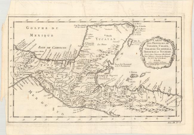
Subject: Southern Mexico & Central America
Period: 1754 (circa)
Publication: Histoire Generale des Voyages
Color: Black & White
Size:
13.4 x 8.1 inches
34 x 20.6 cm
Download High Resolution Image
(or just click on image to launch the Zoom viewer)
(or just click on image to launch the Zoom viewer)