Catalog Archive
Auction 175, Lot 241
"America - East Coast Gulf of Mexico, Texas Galveston Bay and Parts Adjacent from the United States Preliminary Coast Survey", British Admiralty
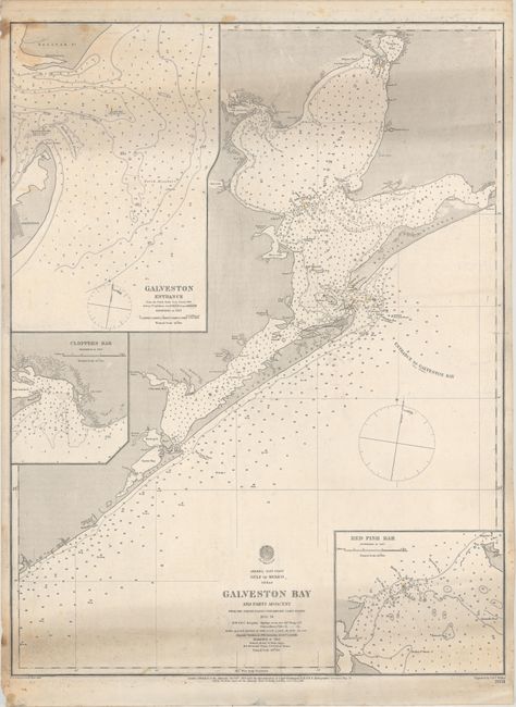
Subject: Galveston Bay, Texas
Period: 1883 (dated)
Publication:
Color: Black & White
Size:
19 x 25.1 inches
48.3 x 63.8 cm
Download High Resolution Image
(or just click on image to launch the Zoom viewer)
(or just click on image to launch the Zoom viewer)