Catalog Archive
Auction 174, Lot 87

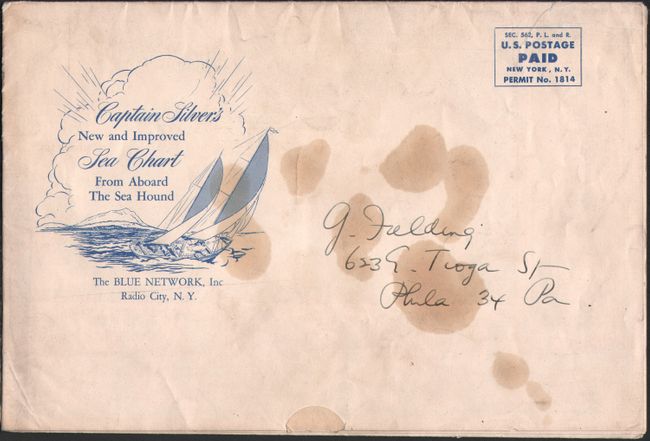
"Captain Silver's Sea Chart",

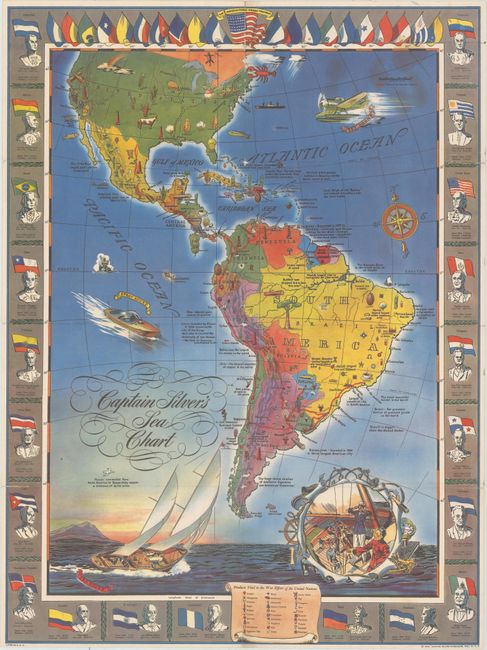
Subject: Western Hemisphere - America, World War II

Period: 1943 (dated)

Publication:

Color: Printed Color

Size:
19.4 x 26.1 inches
49.3 x 66.3 cm
Download High Resolution Image
(or just click on image to launch the Zoom viewer)

This colorful World War II map of the Americas was published by the Captain Silver Syndicate to accompany the Adventures of the Sea Hound radio show. The Sea Hound program was produced by the Office of the Coordinator of Inter-American Affairs and was intended to enhance inter-American relations during the War. It followed Captain Silver in pursuit of Nazis throughout Latin America and taught listeners about each country's geography and importance. The illustrations on the map show the source of products vital to the war effort including copper, rubber, sugar, iron, lead, and more. The map is surrounded by the flags of each country along with images of its leaders, population, and land size. Self-folding for mailing (see images).

References:

Condition: B+

A colorful example, issued folding, with a 4" separation at top and a 1" separation at lower left that have been closed on verso with archival tape. Short splits at the fold junctions have resulted in some minor image loss.

Estimate: $200 - $230

Sold for: $110

Closed on 9/11/2019

Archived