Catalog Archive
Auction 174, Lot 758
"Carte de la Coste Occidentale d'Afrique, Depuis le XIIe. Degre de Latitude Septentrionale ... Tiree de la Carte Francoise de l'Ocean Occidental...", Bellin, Jacques Nicolas
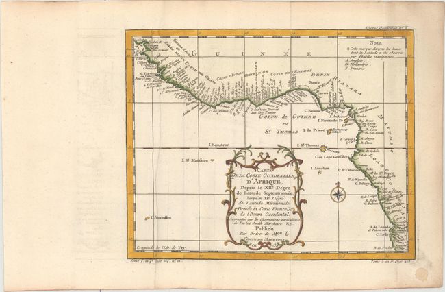
Subject: Western Africa
Period: 1739 (dated)
Publication: La Harpe's Histoire Generale des Voyages
Color: Hand Color
Size:
9.9 x 7.9 inches
25.1 x 20.1 cm
Download High Resolution Image
(or just click on image to launch the Zoom viewer)
(or just click on image to launch the Zoom viewer)