Catalog Archive
Auction 174, Lot 746

"T Koninkryk van Marocco. Verdeelt in Zeven Landschappen enz...", Sanson, Nicolas

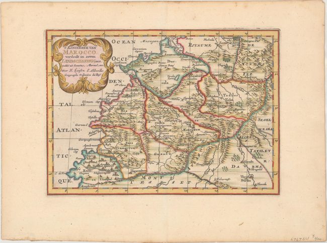
Subject: Northwestern Africa, Morocco

Period: 1705 (published)

Publication: Algemeene Weereld-Beschryving…

Color: Hand Color

Size:
10.3 x 7.3 inches
26.2 x 18.5 cm
Download High Resolution Image
(or just click on image to launch the Zoom viewer)

Lovely map of the Kingdom of Morocco featuring mountains, rivers and important cities. The map is topped with a delicate title cartouche.

This map appeared in Algemeene Weereld-Beschryving, nae de Rechte Verdeeling der Landschappen, Plaetsen, Zeeën, Rivieren, &c. Geographisch, Politisch, Historisch, Chronologisch en Genealogisch, a Dutch edition of A. Phérotée de la Croix's Nouvelle Methode Pour Apprendre Facilement la Geographie Universelle, which first appeared in 1690. The Dutch edition was published by Francois Halma and included 98 maps and views. Halma acquired many of the plates for Algemeene Weereld-Beschryving from Joannes Ribbius, who had enlisted the services of engraver Antoine de Winter to make copies of the maps in Nicolas Sanson's quarto atlases of the four continents. De Winter made very few geographical changes and maintained the attribution to Sanson on the newly engraved plates. Halma supplemented the Sanson maps with about a dozen new maps engraved in the same style as Sanson's, without any attribution on the maps, as well as 23 panoramic views of famous cities around the world.

References:

Condition: A

Superb gilt highlighting with a couple of negligible spots and light toning along the edges of the sheet.

Estimate: $110 - $140

Sold for: $80

Closed on 9/11/2019

Archived