Catalog Archive


Auction 174, Lot 719
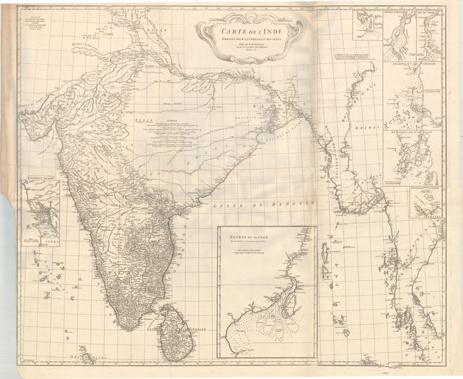
"Carte de l'Inde Dressee pour la Compagnie des Indes", Anville, Jean Baptiste Bourguignon d'

Subject: India
Period: 1752 (dated)
Publication:
Color: Black & White
Size:
41 x 34.8 inches
104.1 x 88.4 cm
Download High Resolution Image
(or just click on image to launch the Zoom viewer)
(or just click on image to launch the Zoom viewer)