Catalog Archive
Auction 174, Lot 702

"The Island of Formosa", Perry, Matthew (Adm.)
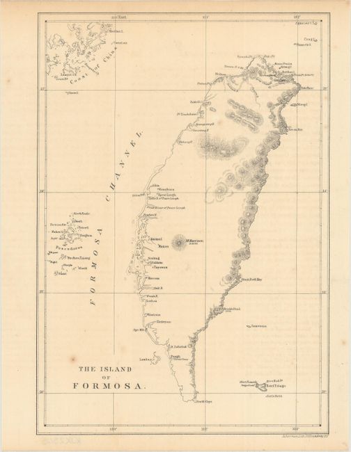
Subject: Taiwan

Period: 1856 (circa)

Publication:

Color: Black & White

Size:
6.3 x 9.1 inches
16 x 23.1 cm
Download High Resolution Image
(or just click on image to launch the Zoom viewer)

This is the first American map of the island of Taiwan and was issued in Admiral Matthew Perry's Narrative of the Expedition of an American Squadron to the China Seas and Japan. Detail is confined primarily to the coastline and locates settlements, river mouths, and topography on the eastern side of the island. Yushan (Mount Morrison) is depicted at center and a coal field is identified on the northern end of the island.

Admiral Perry's expedition was designed to establish trade and diplomacy, by force if necessary, with the "closed" country of Japan. Admiral Perry successfully executed the treaty of Kanagawa in 1854 requiring sailors shipwrecked in Japanese waters to be treated humanely, and that coal would be made available for purchase by U.S. vessels. Additionally, it opened the port cities of Shimoda & Hakodate to U. S. commerce, ending 200+ years of Japanese isolation, and thus, encouraging the new trade partner to industrialize and modernize.

References:

Condition: B+

There are a few spots of foxing and faint offsetting from an opposing page of text.

Estimate: $160 - $190

Sold for: $80

Closed on 9/11/2019

Archived