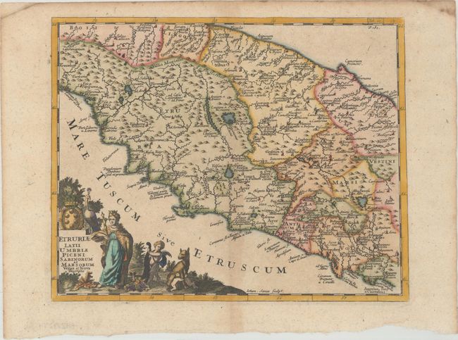
This is an attractive map of central Italy, from Tuscany on the west coast to Umbria on the east coast. The map is centered approximately on Perugia and Lake Trasimeno, with numerous cities, rivers, mountains, and political boundaries shown in nice detail. It is adorned with an allegorical title cartouche depicting a queen, a peacock, a putto with a cornucopia, and Romulus and Remus suckling on the she-wolf. Engraved by John Senex.
Cluver's Introductio in Universam Geographicam was a popular atlas, appearing in over 45 editions during a 100-year period. The first edition was published without maps in the 1620s, and the first edition to include maps was published circa 1641. The various editions were published in different cities throughout Europe, including Amsterdam, Nuremberg, and London. This map is from a London edition, with the majority of the maps re-engraved by John Senex.
References: Shirley (BL Atlases) T.CLUV-9a #19.
Condition: B+
A crisp impression with minor toning along the centerfold.