Catalog Archive
Auction 174, Lot 542

"Veteris et Novae Regni Poloniae Magniq Ducatus, Lithuaniae cum suis Palatinatibus ac Confiniis Descriptio", Cluver, Philipp

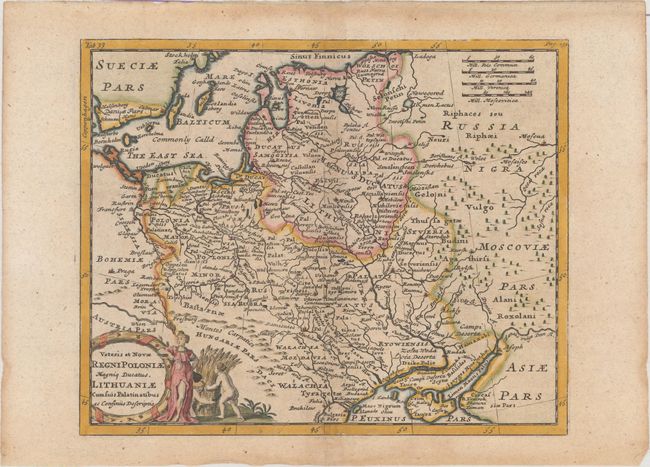
Subject: Eastern Europe

Period: 1711 (published)

Publication: Introductio in Universam Geographicam

Color: Hand Color

Size:
9.8 x 8 inches
24.9 x 20.3 cm
Download High Resolution Image
(or just click on image to launch the Zoom viewer)

A lovely small map displaying the region from the Baltic to the Black Sea, including the Carpathian Mountains. The map is filled with ancient place names and is adorned with a decorative title cartouche.

Cluver's Introductio in Universam Geographicam was a popular atlas, appearing in over 45 editions during a 100-year period. The first edition was published without maps in the 1620s, and the first edition to include maps was published circa 1641. The various editions were published in different cities throughout Europe, including Amsterdam, Nuremberg, and London. This map is from a London edition, with the majority of the maps re-engraved by John Senex.

References: Shirley (BL Atlases) T.CLUV-9a #34.

Condition: B+

A nice impression with very light toning and some stains along the edges of the sheet.

Estimate: $140 - $170

Sold for: $100

Closed on 9/11/2019

Archived