Catalog Archive
Auction 174, Lot 509
"A New Map of the Electorate of Bavaria, Comprehending the Dutchy of Bavaria Divided into Upper and Lower Bavaria; the Upper Palatinate, the Palatinates or Dutcihes of Neuburg and Sulzbach...", Laurie & Whittle
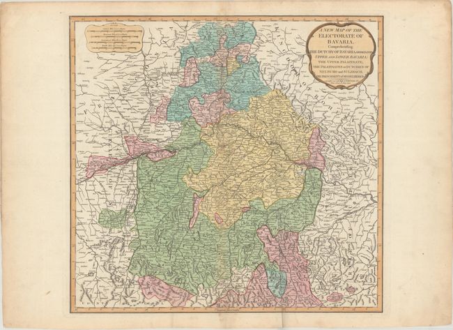
Subject: Southeastern Germany
Period: 1794 (dated)
Publication: A New Universal Atlas...
Color: Hand Color
Size:
20.3 x 19.2 inches
51.6 x 48.8 cm
Download High Resolution Image
(or just click on image to launch the Zoom viewer)
(or just click on image to launch the Zoom viewer)