Catalog Archive
Auction 174, Lot 397

"Carte Generale des Royaumes d'Angleterre, Escosse et Irlande...", Jaillot, Alexis-Hubert
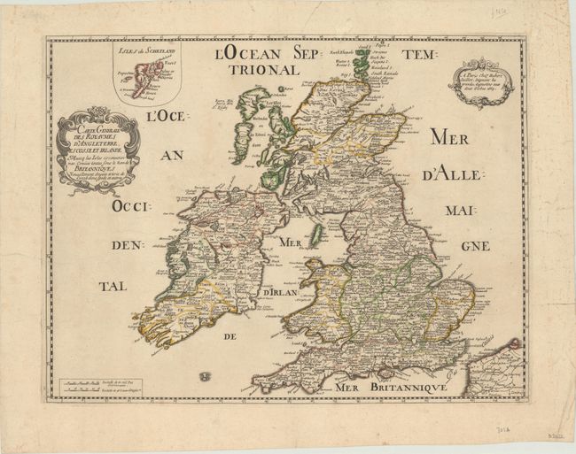
Subject: Britain

Period: 1669 (dated)

Publication:

Color: Hand Color

Size:
20.3 x 15.6 inches
51.6 x 39.6 cm
Download High Resolution Image
(or just click on image to launch the Zoom viewer)

This uncommon and elegantly engraved map of the British Isles is teeming with the names of towns and cities. It delineates counties and features some topographical detail, most notably in the Scottish Highlands. Hadrian's Wall is depicted graphically. An inset at top left details the Shetland Islands. There are two baroque-style cartouches, one for the title, the other for the imprint.

References:

Condition: B+

A crisp impression on a sheet with a fleur-de-lis watermark. There are some faint stains and a small chip at top that has been archivally repaired, with a half inch of border replaced in facsimile. The edges of the sheet are reinforced with archival tape.

Estimate: $275 - $350

Sold for: $180

Closed on 9/11/2019

Archived