Catalog Archive
Auction 174, Lot 380

"Carte de l'Islande, pour Servir a la Continuation de l'Histoire Generale des Voyages", Bellin, Jacques Nicolas
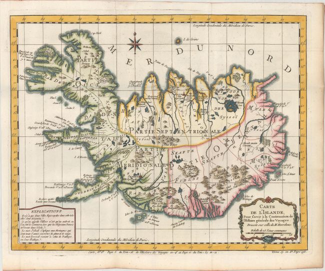
Subject: Iceland

Period: 1780 (circa)

Publication: La Harpe's Histoire Generale des Voyages

Color: Hand Color

Size:
15 x 11.9 inches
38.1 x 30.2 cm
Download High Resolution Image
(or just click on image to launch the Zoom viewer)

In 1752 the Danish scholar, Niels Horrebow, published an important book and map about Iceland. His map, based on the previously unpublished Knoff survey, was a major departure from previous maps based on Bishop Gudbrandur Thorlaksson's map of more than 150 years earlier. Thus, it marked a turning point in the cartography of Iceland. This is Bellin's version for Prevost's important work on voyages of exploration. The map locates villages and churches and graphically delineates the mountains, rivers, lakes and forests. A note at bottom left explains that there are only two Episcopalian villages on the island, which are so marked, and that the term "village" on this map simply identifies a location where commerce occurs when "the Danish negotiators arrive on the island."

References:

Condition: A

A sharp impression, issued on a bright sheet with light toning along the edges of the sheet.

Estimate: $180 - $210

Sold for: $210

Closed on 9/11/2019

Archived