Catalog Archive


Auction 174, Lot 307
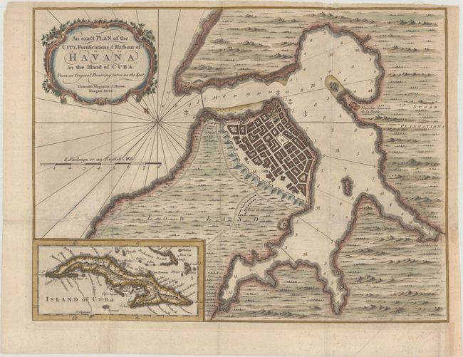
"An Exact Plan of the City, Fortifications & Harbour of Havana in the Island of Cuba: From an Original Drawing Taken on the Spot", Hinton, John

Subject: Havana, Cuba
Period: 1762 (published)
Publication: Universal Magazine
Color: Hand Color
Size:
13.6 x 10.3 inches
34.5 x 26.2 cm
Download High Resolution Image
(or just click on image to launch the Zoom viewer)
(or just click on image to launch the Zoom viewer)