Catalog Archive
Auction 174, Lot 218

NO RESERVE

"Sketch of the Country Near the Southern Boundary of Kansas", U.S. War Department
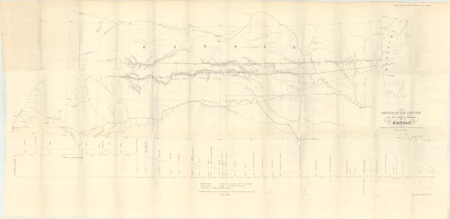
Subject: Kansas

Period: 1858 (published)

Publication: H.R. Ex. Doc. 103, 35th Congress, 1st Session

Color: Black & White

Size:
48.8 x 21 inches
124 x 53.3 cm
Download High Resolution Image
(or just click on image to launch the Zoom viewer)

This map describes the important survey that established the southern boundary of Kansas Territory and the feasibility for a southern railroad route. The survey was conducted by Col. Joseph E. Johnson with the map drawn by his assistant, J.E. Weyss. It covers the region from Neosho, Missouri to Albuquerque, New Mexico and includes topographic features and good detail. It locates forts, identifies the Santa Fe Trail as the Santa Fe Road, shows the route of Lt. Whipple in 1853, Aubrey's Trail (an important cattle trail), and names Old Fort Scott, Ft. Union, Raton Pass and Santa Fe. At bottom is a profile of elevations by Dr. Wizlizenus.

References: Wagner & Camp #301a.

Condition: B+

Issued folding with faint offsetting and a bit of light toning at top left where the map folded into the report. The bluish/gray lines along the folds are caused by our scanner and not on the physical map.

Estimate: $200 - $250

Unsold

Closed on 9/11/2019

Archived