Catalog Archive
Auction 174, Lot 110
"[Lot of 3] TCA Air Route Maps [and] Trans-Canada Air Lines Air Canada [and] Route Map Vancouver to Amsterdam"
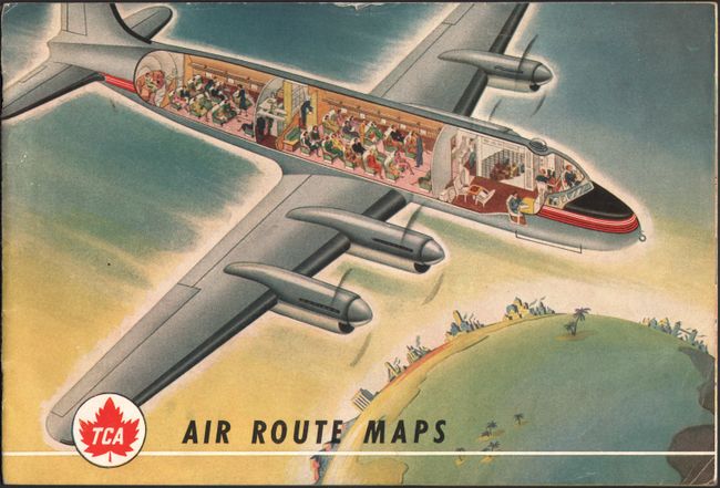
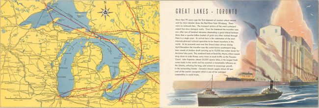
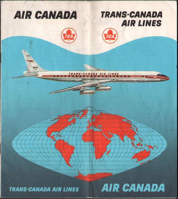
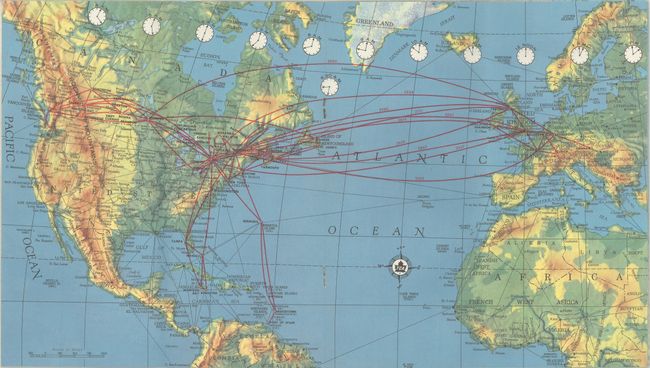
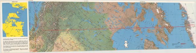
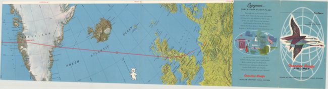
Subject: United States & Canada, Flight Maps
Period: 1950-60 (circa)
Publication:
Color: Printed Color
Size:
See Description
Download High Resolution Image
(or just click on image to launch the Zoom viewer)
(or just click on image to launch the Zoom viewer)