Catalog Archive
Auction 173, Lot 363

"Lumen Historiarum. Per Orientem, Illustrandis Biblijs Sacris, Martijrologio, & alijs Multis a Fran. Hareio Concinnatum", Jansson, Jan

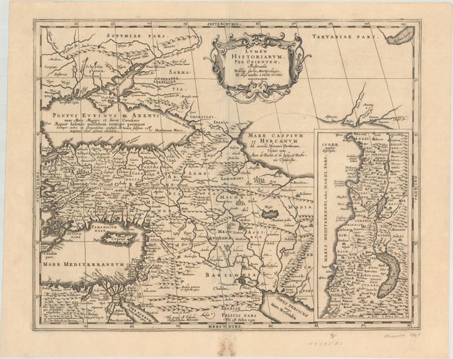
Subject: Eastern Mediterranean & Middle East

Period: 1741 (published)

Publication: Description Exacte de l'Univers, ou l'Ancienne Geographie Sacree et Profane

Color: Black & White

Size:
18.5 x 14.9 inches
47 x 37.8 cm
Download High Resolution Image
(or just click on image to launch the Zoom viewer)

Beautifully engraved map of the region from the eastern Mediterranean to the Persian Gulf based on the Ortelius/Vrients map of this title designed by Franciscus Haraeus. The map extends through Turkey and the Caucasus to include the region north of the Black Sea. Details include the pyramids in Egypt, the route of Abraham from Ur to Sichem, and the wandering of the Children of Israel. A large inset map of the Holy Land is shown at the right. This map was engraved by Kaerius, whose signature appears above the left hand bottom border. Blank verso, published in Pieter de Hondt's Description Exacte de l'Univers, ou l'Ancienne Geographie Sacree et Profane, a French edition of Georgius Hornius' Accuratissima Orbis Antiqui Delineatio, which included maps from Johannes Jansson's historical atlas and Abraham Ortelius' Parergon.

References: Laor #323; Van der Krogt (Vol. I) #0821H:1.

Condition: A

A dark impression with minor offsetting along the centerfold, a couple of soft creases, and some soiling in the bottom blank margin.

Estimate: $200 - $230

Sold for: $150

Closed on 6/5/2019

Archived