Catalog Archive
Auction 173, Lot 293

"Le Cercle de Baviere Subdivise en Tous les Estats qui le Composent", Sanson/Jaillot

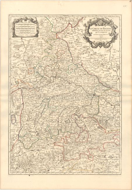
Subject: Southeastern Germany & Northwestern Austria

Period: 1704 (dated)

Publication: Atlas Francois

Color: Hand Color

Size:
18.1 x 25.8 inches
46 x 65.5 cm
Download High Resolution Image
(or just click on image to launch the Zoom viewer)

This elegantly engraved map centers on Bavaria and extends to include nearby Imperial States such as Saxony, Salzburg, and Tyrol. In addition to political divisions, numerous towns and cities are located including Munich, Nuremberg, Ingolstadt, and Linz. There is excellent topographical detail. Brenner Pass is depicted in the southwest corner of the map. There are two ornate cartouches at top: one at left enclosing five distance cartouches, and one at right for the title.

References: cf. Pastoureau, JAILLOT II E #82.

Condition: B+

A dark impression on sturdy watermarked paper with archivally repaired centerfold separations at left and right that enter 1.25" and 3" into the image, respectively.

Estimate: $200 - $230

Unsold

Closed on 6/5/2019

Archived