Catalog Archive
Auction 173, Lot 282

"Partie Meridionale des Etats de Castille, ou se Trouvent la Castille Nlle l'Estremadure, l'Andalousie, les Royaumes de Grenade et de Murcie...", Robert de Vaugondy, Didier

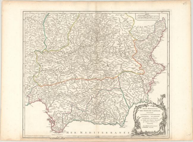
Subject: Southern Spain

Period: 1757 (circa)

Publication: Atlas Universel

Color: Hand Color

Size:
22.1 x 19.2 inches
56.1 x 48.8 cm
Download High Resolution Image
(or just click on image to launch the Zoom viewer)

This elegantly engraved map covers from Medina del Campo south to the Strait of Gibraltar and extends to show the easternmost part of Portugal. It delineates political divisions, naming royaumes Leon, Castile, Valencia, Murcia, Andalusia, and Grenada. Castile is subdivided into Castille Vielle, Castille Nouvelle, Estremadure de Castille, and La Mancha. There is excellent topographical detail, and several towns and cities are named, including Madrid, Toledo, Valencia, Seville, Malaga, and Murcia. In the bottom right corner, there is a decorative title cartouche with two sheep. The 1751 date has been erased from the cartouche on this edition.

References: Pedley #312.

Condition: B+

A crisp impression on watermarked paper with one faint spot at top right and light toning concentrated along the sheet's edges that just enters the neatline at bottom.

Estimate: $140 - $170

Sold for: $70

Closed on 6/5/2019

Archived