Catalog Archive
Auction 173, Lot 259

"Lalandiae et Falstriae Accurata Descriptio", Jansson/Pitt

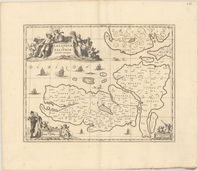
Subject: Lolland & Falster, Denmark

Period: 1680 (circa)

Publication: The English Atlas

Color: Black & White

Size:
21 x 16.3 inches
53.3 x 41.4 cm
Download High Resolution Image
(or just click on image to launch the Zoom viewer)

This very decorative copper plate map depicts Lolland and Falster. It extends to include the southern portion of Sjaelland as well as numerous smaller islands like Femo, Asko, and Fejo. The cities of Praesto, Wordingborg, Stubbekoping, Nykoping, Nysted, Saxkoping, Maribo, Rodby, and Naxkow are located. The ornate map is embellished with sailing ships, sea monsters, and three superb cartouches. The title cartouche is surrounded by figures of peasants and their cattle; the distance scale cartouche features aristocrats in their finery and putti with surveying tools; and the imprint cartouche is mounted by two putti. The plate was originally engraved by Jan Jansson. After his death it was inherited by his son-in-law, known as Jansson-Waesberg, who published it in conjunction with Moses Pitt. This map was published in Volume I of Pitt's The English Atlas. The project was initially planned to span twelve volumes, but only four were published before Pitt abandoned the project due to debt. This edition adds a graticule and an imprint reading "Apud Janssonio-Waesbergios, et Mosem Pitt."

References: Van der Krogt (Vol I) #1541:1.2.

Condition: A

A fine impression on watermarked paper with minor printer's ink residue and a few faint spots.

Estimate: $200 - $230

Unsold

Closed on 6/5/2019

Archived