Catalog Archive
Auction 173, Lot 216

"Chili", Blaeu, Willem
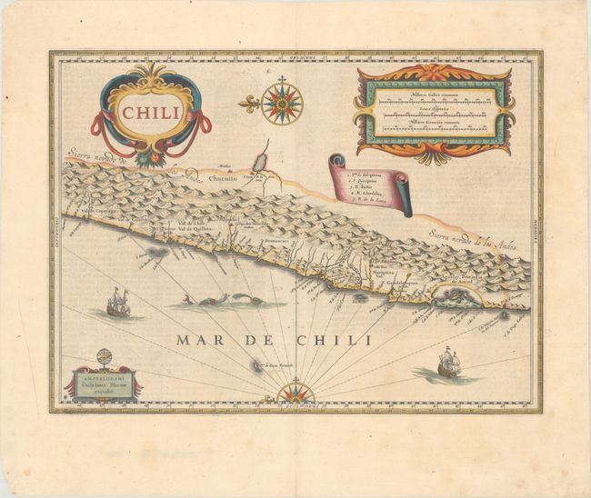
Subject: Chile

Period: 1647 (circa)

Publication:

Color: Hand Color

Size:
18.9 x 14 inches
48 x 35.6 cm
Download High Resolution Image
(or just click on image to launch the Zoom viewer)

This striking map covers the known coastal region of Chile from approximately Antofagasta in the north to Cabo Gallegos in the south. The map is oriented with north to the left with two bold compass roses. The Andes are shown prominently, with two live volcanoes in the vicinity of Villarrica. Beyond the mountains, in what is now Argentina, is a large unnamed (and nonexistent) lake with the cities of Mendoza and San Juan - with San Juan incorrectly placed to the south of Mendoza. Otherwise, the map is surprisingly accurate for its age with many recognizable place names: La Serena, S. Iago (Santiago), Concepcion, Valdivia and the Gulf of Ancud are all located. It is beautifully adorned with three large cartouches, a scroll-style key, ships and sea monsters. German text on verso, published between 1647-70.

References: Van der Krogt (Vol. II) #9920:2.2.

Condition: A

A nice impression with a soft horizontal crease and light show-through of text on verso. There is an area of paper weakness in the bottom blank margin, well away from the image.

Estimate: $475 - $600

Sold for: $275

Closed on 6/5/2019

Archived