Catalog Archive
Auction 172, Lot 572
"Insular Aliquot Aegaei Maris Antiqua Descrip.", Ortelius, Abraham
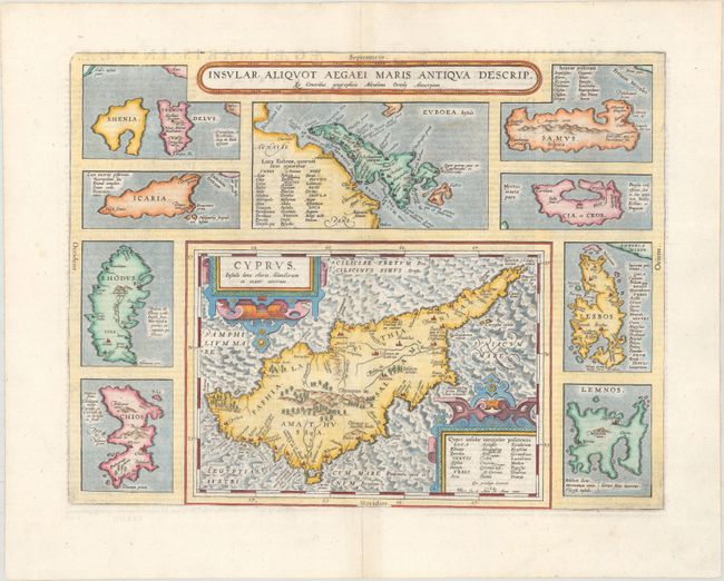
Subject: Cyprus & Aegean Islands
Period: 1584 (dated)
Publication: Theatri Orbis Terrarum Parergon
Color: Hand Color
Size:
18.5 x 14.3 inches
47 x 36.3 cm
Download High Resolution Image
(or just click on image to launch the Zoom viewer)
(or just click on image to launch the Zoom viewer)