Catalog Archive
Auction 172, Lot 485
"Del Palatinato et Elettorato del Reno Parte Occidentale", Coronelli, Vincenzo Maria
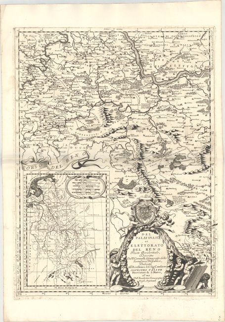
Subject: Western Germany, Rhine River
Period: 1693 (circa)
Publication: Corso Geografico Universale
Color: Black & White
Size:
17.7 x 23.8 inches
45 x 60.5 cm
Download High Resolution Image
(or just click on image to launch the Zoom viewer)
(or just click on image to launch the Zoom viewer)