Catalog Archive
Auction 172, Lot 334
"Karte von der Insel St. Lucia", Bellin, Jacques Nicolas
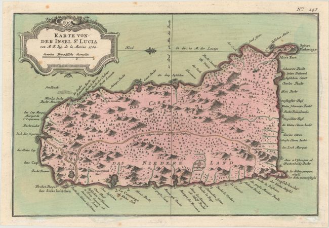
Subject: St. Lucia
Period: 1758 (dated)
Publication:
Color: Hand Color
Size:
11.4 x 7.6 inches
29 x 19.3 cm
Download High Resolution Image
(or just click on image to launch the Zoom viewer)
(or just click on image to launch the Zoom viewer)