Catalog Archive
Auction 172, Lot 250

"North Carolina",

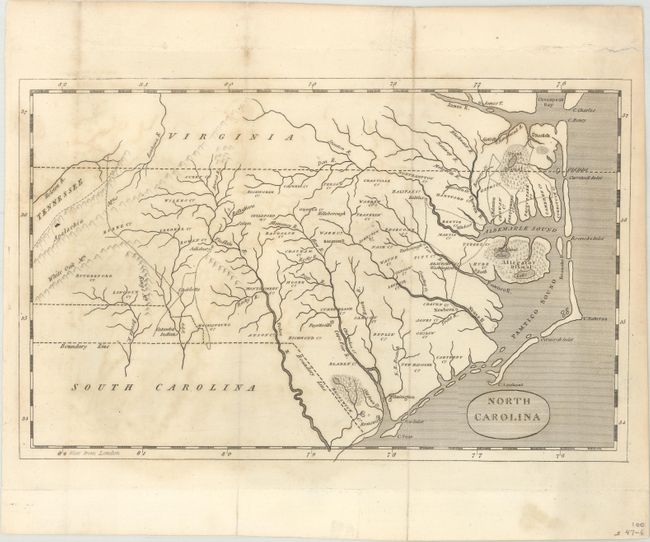
Subject: North Carolina

Period: 1812 (published)

Publication: The History of North Carolina

Color: Black & White

Size:
9.8 x 6.1 inches
24.9 x 15.5 cm
Download High Resolution Image
(or just click on image to launch the Zoom viewer)

This small map of the state served as the frontispiece to Hugh Williamson's The History of North Carolina. It is engraved in a style similar to Arrowsmith's map of the state, but lacks the level of topographical detail and inset of the western part of the state. While the map was published in 1812, county configurations suggest a circa date of 1795 based upon the fact that Glasgow, Lenoir and Person county names appear on the map (1792) but Washington County in the northeastern part of the state does not (1799). The map identifies three swamps including the Great Dismal and Allegator Dismal and a number of trails are shown in the vicinity of Albemarle Sound and Charlotte. Along the boundary line with South Carolina is a band of Catawba Indians. Published in Philadelphia by Thomas Dobson.

References: Sabin #104449.

Condition: B+

Issued folding with light offsetting and minor foxing. Short fold separations that are confined to the blank margins have been repaired on verso with archival tape.

Estimate: $140 - $170

Sold for: $100

Closed on 4/17/2019

Archived