Catalog Archive
Auction 171, Lot 760

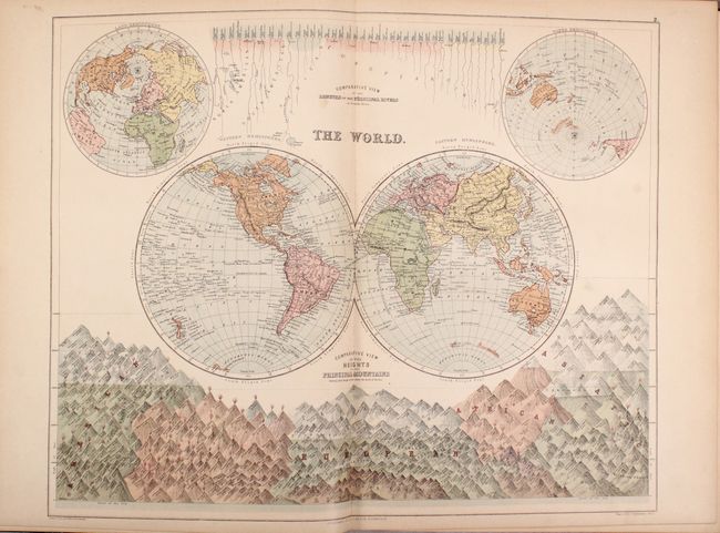
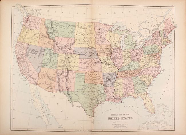
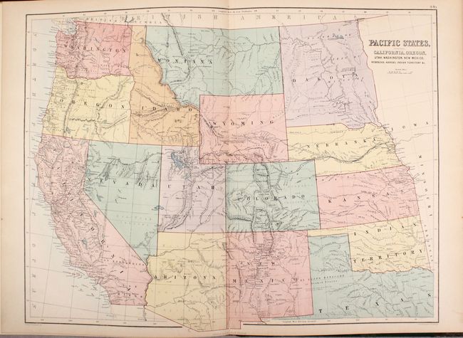
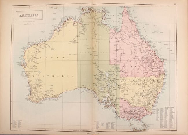
"Black's General Atlas of the World - American Edition...", Black, Adam & Charles
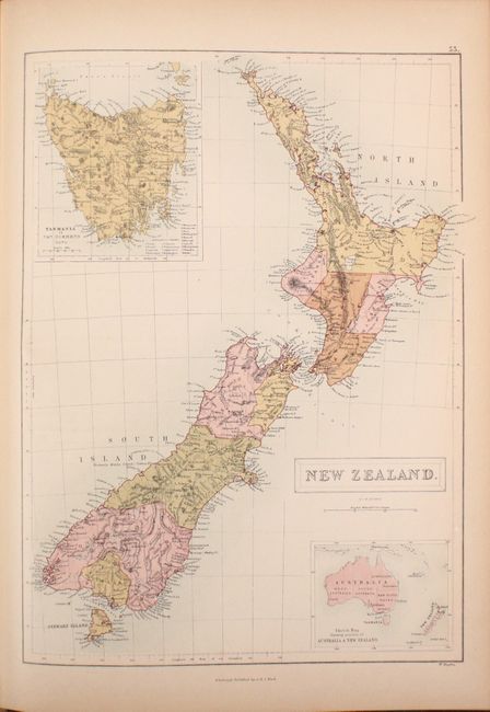
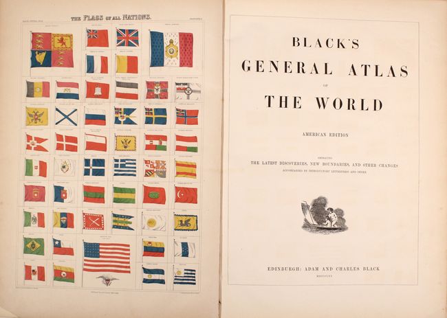
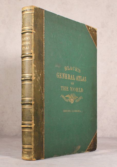
Subject: Atlases

Period: 1870 (published)

Publication:

Color: Printed Color

Size:
13.6 x 18.3 inches
34.5 x 46.5 cm
Download High Resolution Image
(or just click on image to launch the Zoom viewer)

This world atlas is complete with 67 maps by John Bartholomew and an engraving of flags of nations around the world. The maps include: 4 world maps, celestial hemispheres, solar system, 19 maps of Europe, 8 maps of Asia, 3 maps of Africa, 22 maps of North America, 4 maps of South America, 3 maps of Australia and the South Pacific, and 2 maps of the ancient world. The world map in hemispheres features comparative views of the rivers and mountains around the world, and the United States map shows that most territorial boundaries have been firmly established. The atlas also features nice maps of the South Pacific including Australia, New Zealand, and Oceania. Unlike other atlases of the time, the maps have blank versos and have been tipped into the binding. Includes an impressive 70-page index and 32 pages of introductory text with information on geography, population, agriculture, and history of various parts of the world. Large foilo. Quarter leather with tips over green cloth-covered boards with gilt title on front cover and raised bands on spine. All edges gilt (A.E.G.). This example includes the previous owner's name in gilt on the front cover below the title.

References:

Condition: B+

Maps are very good to near fine with pleasant light toning and occasional faint offsetting. The map of South America has an edge tear at top that extends 1.5" into the image. Covers have average wear with bumped edges.

Estimate: $400 - $500

Sold for: $190

Closed on 2/6/2019

Archived