Catalog Archive
Auction 171, Lot 253

"Niihau Hawaiian Islands", Hawaii Territorial Surveys

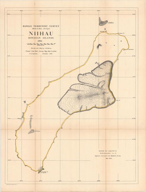
Subject: Ni'ihau, Hawaii

Period: 1904 (dated)

Publication:

Color: Hand Color

Size:
19.2 x 25.4 inches
48.8 x 64.5 cm
Download High Resolution Image
(or just click on image to launch the Zoom viewer)

A basic map that shows the coastline and the volcanoes of Kawaewae, Kawaihoa, Puulua, Paniau and Kaeo. Beyond the volcanoes, the interior is blank. Survey and map by S.M. Kerns with latitude and longitude by W.D. Alexander of the USGS.

References:

Condition: B+

Issued folding and now flattened and backed with tissue to repair and reinforce a few tiny splits at fold intersections. There is light toning along the fold lines.

Estimate: $240 - $300

Sold for: $120

Closed on 2/6/2019

Archived