Catalog Archive
Auction 171, Lot 162

NO RESERVE

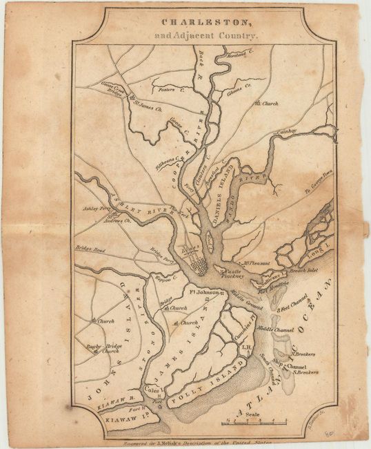
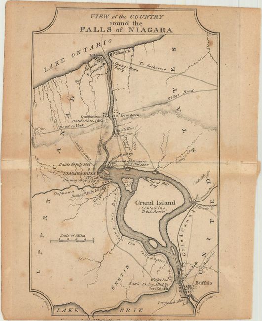
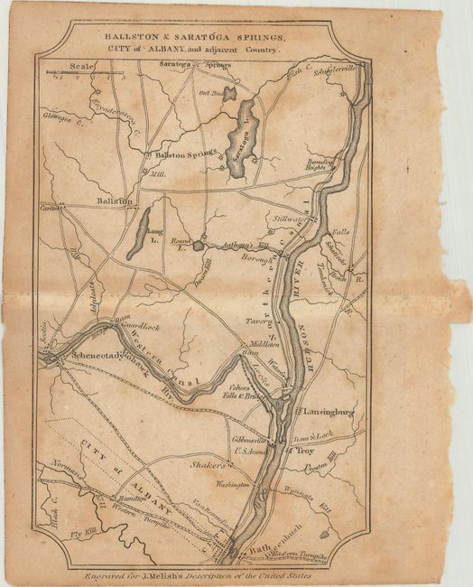
"[Lot of 7] New-York, and Adjacent Country [and] District of Columbia [and] Boston... [and] Baltimore, Annapolis... [and] Charleston... [and] View of the Country Round the Falls of Niagara [and] Ballston & Saratoga Springs, City of Albany...", Melish, John

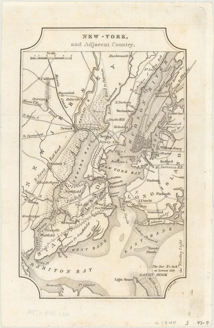
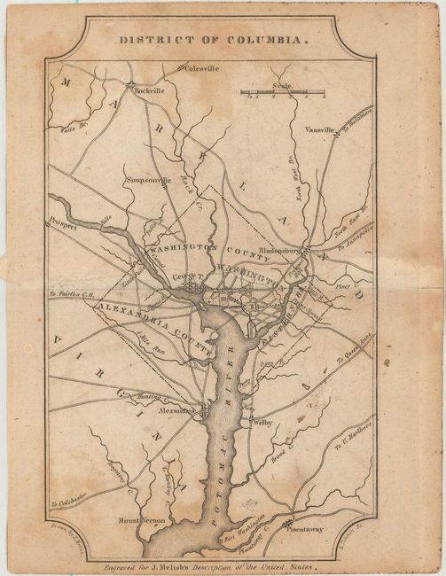
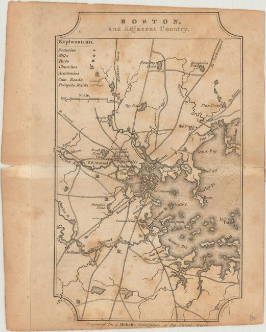
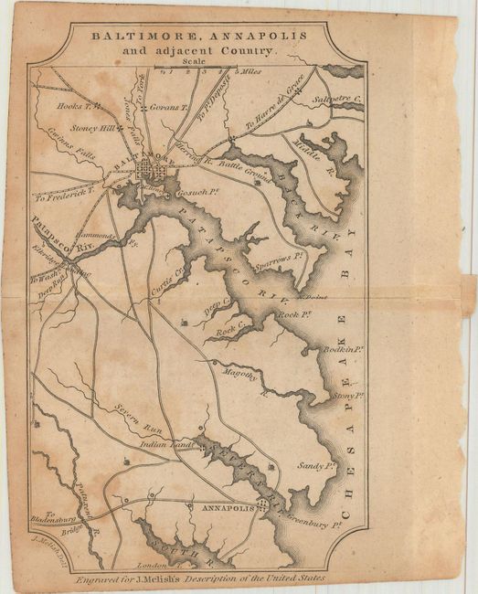
Subject: Eastern United States Cities

Period: 1822 (circa)

Publication: A Geographical Description of the United States…

Color: Black & White

Size:
4 x 6.4 inches
10.2 x 16.3 cm
Download High Resolution Image
(or just click on image to launch the Zoom viewer)

These small regional maps are from one of Melish's important early 19th century descriptions of the young United States. Each map focuses on the transportation network of these major American cities. John Melish was the first American publisher to concentrate on cartographic and geographic publications. Born in Scotland, Melish immigrated to Philadelphia in 1811. In 1812 he published Travels in the United States of America, which included his first maps. He soon came to dominate the industry in this country, and had a huge impact on all subsequent American map-making.

A. New-York, and Adjacent Country.
B. District of Columbia.
C. Boston, and Adjacent Country.
D. Baltimore, Annapolis and Adjacent Country.
E. Charleston, and Adjacent Country.
F. View of the Country Round the Falls of Niagara.
G. Ballston & Saratoga Springs, City of Albany, and Adjacent Country.

References: Howes #M-490; Sabin #47431.

Condition:

The New York map is clean, bright, and near fine (A). The remaining maps are good with light toning and scattered foxing (B).

Estimate: $350 - $425

Unsold

Closed on 2/6/2019

Archived