Catalog Archive
Auction 171, Lot 114

"The British Colonies in North America, from the Best Authorities", Guthrie, William

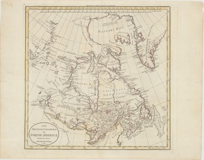
Subject: Eastern Canada

Period: 1780 (circa)

Publication: New System of Geography

Color: Hand Color

Size:
13.4 x 13.2 inches
34 x 33.5 cm
Download High Resolution Image
(or just click on image to launch the Zoom viewer)

This map of Canada and the Arctic is centered on Hudson's Bay and extends south to include part of the Mississippi River. There is good detail of the rivers and lakes in the region, as well as towns, forts and Indian territories. Numerous notes are included, such as one southwest of Hudson's Bay that states: "The climate of this land is a great deal more termperate than Hudsons Bay." Engraved by William Darton in Tottenham and published by Dilly & Robinson. This is the third state, first published in 1785.

References: Kershaw #379.

Condition: B+

A crisp impression on paper with the watermarks of a horn coat of arms and the initials "JW." There is light soiling and foxing.

Estimate: $140 - $170

Sold for: $110

Closed on 2/6/2019

Archived