Catalog Archive
Auction 170, Lot 468

"Lidalia vel Lidisdalia Regio, / Lidisdail. Auct. Timotheo Pont.", Blaeu, Johannes

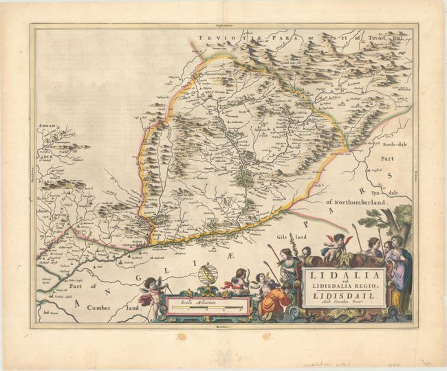
Subject: Southern Scotland

Period: 1654 (published)

Publication: Theatrum Orbis Terrarum sive Atlas Novus

Color: Hand Color

Size:
20.6 x 16.2 inches
52.3 x 41.1 cm
Download High Resolution Image
(or just click on image to launch the Zoom viewer)

This beautifully engraved map covers the Liddell River valley on the border of Scotland and England. The map, based on the work of Timothy Pont, famous surveyor of Scotland in the late sixteenth century, includes great detail of the rivers, cities, villages, and castles, including Hermitage Castle, known as the "the guardhouse of the bloodiest valley in Britain" and the "Strength of Liddesdale." The Scots' Dike is prominently shown (here labeled March Dyik). This important earthwork was constructed by the English and the Scots in the year 1552 to mark the division of the Debatable Lands and thereby settle the exact boundary between the Kingdoms of Scotland and England. Latin text on verso.

Publication of Bleau’s atlas of Scotland (Atlas Novus, Volume V) in 1654 was a landmark publication in cartographic history. Most of the maps were based on the surveys of Timothy Pont, which had been done half a century earlier. The publication took over seven decades to bring to publication; it was delayed by wars, copyright restrictions, and only intermittent official support. The maps are scarce today due to the relatively short publication history of the atlas.

References: Van der Krogt (Vol. II) #5816:2.

Condition: B+

A fine impression in contemporary color with one small worm hole only visible when held to light, a couple short cracks due to oxidation at top, and a few short edge tears in the blank margins.

Estimate: $275 - $350

Unsold

Closed on 11/14/2018

Archived