Catalog Archive
Auction 170, Lot 41

NO RESERVE

"Mercator's Chart", Lucas, Fielding
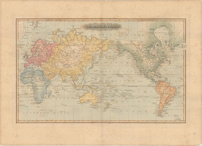
Subject: World

Period: 1823 (circa)

Publication:

Color: Hand Color

Size:
17.9 x 10.9 inches
45.5 x 27.7 cm
Download High Resolution Image
(or just click on image to launch the Zoom viewer)

A handsome map on Mercator's Projection that is centered on the Pacific Ocean. The depiction of Alaska is fairly accurate up to the "Icy Cap" and virtually blank above this dotted line. Australia is New Holland and is completely blank in the interior with just a few place names on the coast. Tasmania is separate, and Antarctica does not appear on the map. Engraved by S. Thule.

References: Phillips (Atlases) #742-16.

Condition: B

Scattered foxing and offsetting.

Estimate: $100 - $130

Sold for: $55

Closed on 11/14/2018

Archived