Catalog Archive
Auction 170, Lot 372

"Map of the West India & Bahama Islands with the Adjacent Coasts of Yucatan, Honduras, Caracas &c.", Wyld, James
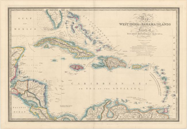
Subject: Caribbean

Period: 1840 (circa)

Publication:

Color: Hand Color

Size:
30.6 x 20.6 inches
77.7 x 52.3 cm
Download High Resolution Image
(or just click on image to launch the Zoom viewer)

This elegantly engraved, large-scale map covers all of the Caribbean and Bahamas, plus the southern tip of Florida, Central America and the northern coast of South America. The map is filled with topographical and political detail and is handsomely presented with calligraphy, a bold keyboard-style border and attractive color. James Wyld was successor to William Faden, one of the luminaries of late eighteenth century publishing in England. Wyld maintained the high standard of graphic and factual excellence that had been established by his predecessor and his maps are among the finest published in the early nineteenth century.

References:

Condition: A

Fine original color on a bright sheet with a couple of repaired tears in bottom margin that do not affect the map. The faint shadow along the centerfold is caused by the scanner, and does not appear on the map itself.

Estimate: $350 - $425

Sold for: $250

Closed on 11/14/2018

Archived