Catalog Archive
Auction 170, Lot 227
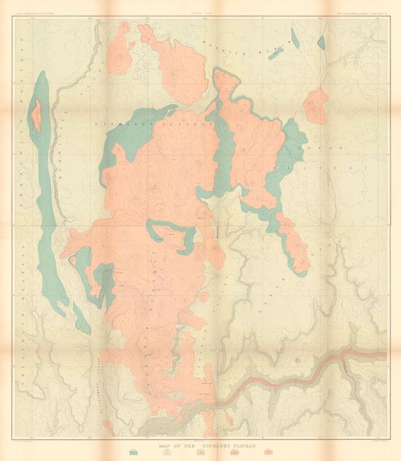
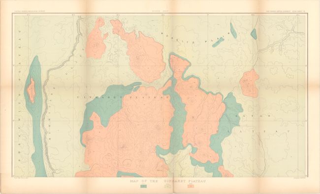
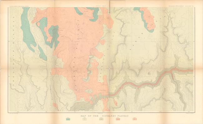
"[On 2 Sheets] Map of the Uinkaret Plateau - North Half [and] ...South Half", Dutton, Clarence Edward
1 of 3
Subject: Grand Canyon, Arizona
Period: 1882 (published)
Publication:
Color: Printed Color
Size:
30.6 x 17.1 inches
77.7 x 43.4 cm
Download High Resolution Image
(or just click on image to launch the Zoom viewer)
(or just click on image to launch the Zoom viewer)