Catalog Archive
Auction 170, Lot 197

"Map of the Territory of Dakota, and the States of Minnesota and Nebraska", Warner & Beers

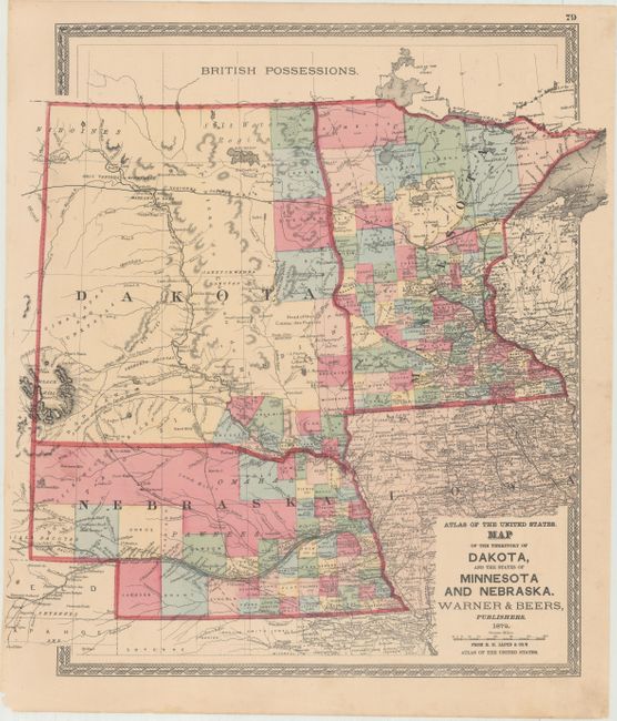
Subject: Central United States

Period: 1872 (dated)

Publication: H.H. Lloyd & Co.'s Atlas of the United States

Color: Hand Color

Size:
15.4 x 16.7 inches
39.1 x 42.4 cm
Download High Resolution Image
(or just click on image to launch the Zoom viewer)

This map shows the county development in Dakota Territory, the recently formed state of Nebraska, and Minnesota. Early counties appear only in the far eastern portion of Dakota Territory, with a number of Native Indian tribes noted in the remainder of the territory. Nebraska, which had become a state only five years prior, shows the proposed county development circa 1870, with the counties of Lyon, Taylor, Monroe, Harrison, Jackson and Grant in the southwestern portion of the state, which were never officially approved and did not become actual counties. Early roads and railroads are also noted, including the proposed route of the Northern Pacific Railway, for which construction had just begun in 1870.

References:

Condition: A

A nice example with minor marginal soiling, a few binding holes at far left, and a small chip at bottom left.

Estimate: $100 - $130

Sold for: $80

Closed on 11/14/2018

Archived