Catalog Archive
Auction 170, Lot 193

"Carte de la Floride et de la Georgie", Tardieu, Pierre Francois

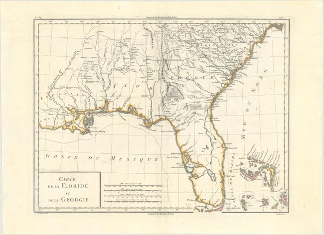
Subject: Southern United States

Period: 1797 (circa)

Publication: Atlas Universel de Geographie Physique et Politique

Color: Hand Color

Size:
16.7 x 12.7 inches
42.4 x 32.3 cm
Download High Resolution Image
(or just click on image to launch the Zoom viewer)

Handsome early map covering from South Carolina to Florida and the Bahamas and much of the lower Mississippi valley. The map depicts Florida and southern Louisiana during the period it was controlled by the Spanish. There are no engraved political divisions indicating the mapmaker's bias toward the territorial claims of either Spain or the United States. In Georgia, settlement is confined to east of the mountains, while a large number of Indian villages and a few French forts are shown on the western frontier. The map provides an excellent view of the Gulf Coast with a dramatically oversized Tampa Bay (Baie de St. Esprit), reflecting the limits of contemporary knowledge of the region. Numerous Indian villages are located and roads are shown connecting early settlements. In central Florida the southern-most settlements are Dest, Suliga and Allavatra. The Bahamas are also well delineated. Engraved by Tardieu with lettering by P.J. Valet. Published by Chanlaire & Mentelle.

References: Mapforum #7-82.

Condition: A

A nice impression on a sturdy sheet with minor offsetting along the centerfold.

Estimate: $375 - $450

Sold for: $275

Closed on 11/14/2018

Archived