Catalog Archive
Auction 170, Lot 111

NO RESERVE

"Johnson's North America", Johnson & Browning

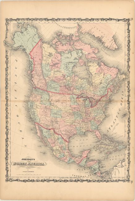
Subject: North America

Period: 1861 (circa)

Publication:

Color: Hand Color

Size:
17.1 x 22 inches
43.4 x 55.9 cm
Download High Resolution Image
(or just click on image to launch the Zoom viewer)

This early Civil War-period map shows the United States with evolving territorial borders. Washington is in its rare inverted "L" configuration and the newly created Nevada appears west of Utah Territory which has Fillmore City as its capital. New Mexico Territory extends to include all of Arizona and the southern tip of present-day Nevada. Colorado is to the east of Utah with Denver City, Colorado City and Pike's Peak located, a likely reference to the Pike's Peak gold discoveries of 1859. Depicts railroads, completed and proposed, the U.S. Mail routes, and the route of the Pony Express. Also shows the locations of the major Indian tribes. A nice example of the tremendous change in political boundaries taking place during the early years of the Civil War in the United States.

References:

Condition: B

Light overall toning which is slightly more prominent along the centerfold. There is a 1" centerfold separation at left and a 2.5" separation at right that have been closed on verso with archival material.

Estimate: $100 - $130

Sold for: $100

Closed on 11/14/2018

Archived