Catalog Archive
Auction 169, Lot 806
NO RESERVE
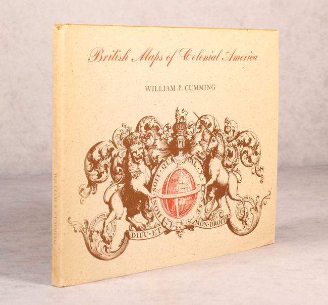
"British Maps of Colonial America", Cumming, William P.
Subject: References
Period: 1974 (published)
Publication:
Color: Black & White
Size:
10.3 x 8.3 inches
26.2 x 21.1 cm
Download High Resolution Image
(or just click on image to launch the Zoom viewer)
(or just click on image to launch the Zoom viewer)