Catalog Archive
Auction 169, Lot 791

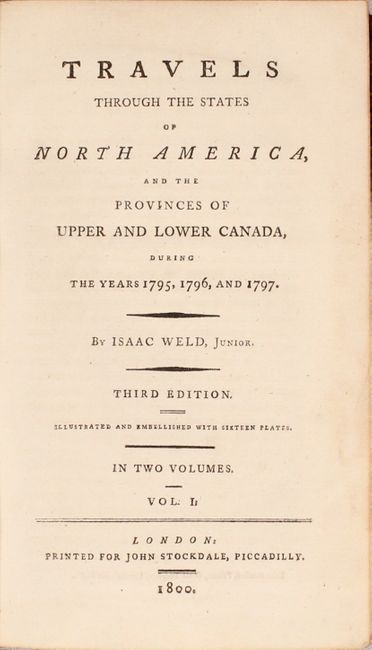
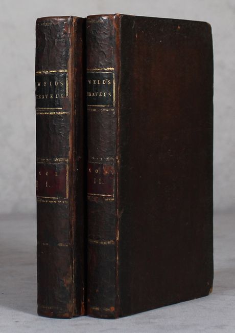
"[2 Volumes] Travels Through the States of North America, and the Provinces of Upper and Lower Canada, During the Years 1795, 1796, and 1797", Weld, Isaac

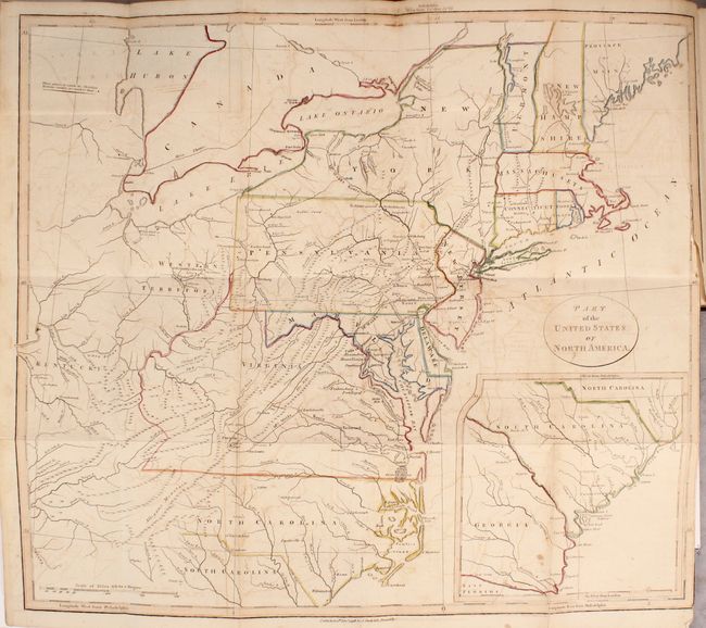
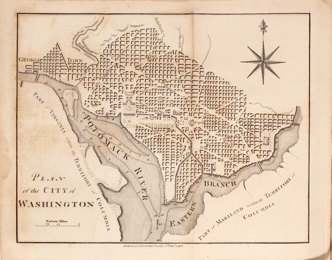
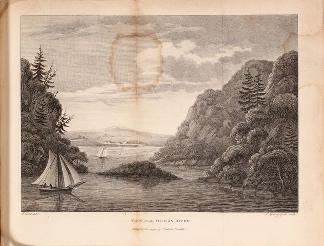
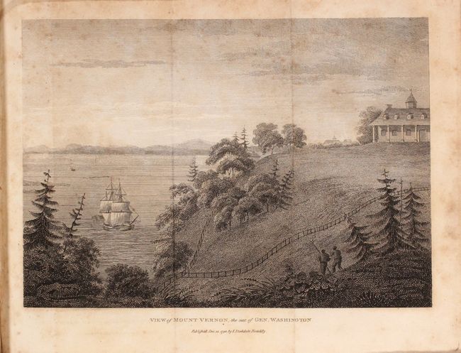
Subject: Exploration & Surveys, North America

Period: 1800 (published)

Publication:

Color: Hand Color

Size:
5.4 x 8.4 inches
13.7 x 21.3 cm
Download High Resolution Image
(or just click on image to launch the Zoom viewer)

Weld, an Irish-born topographer, arrived to Philadelphia in 1795, and his subsequent travels took him through the mid-Atlantic states where he met George Washington and Thomas Jefferson. He then continued to Montreal and Quebec and, following the St. Lawrence River, journeyed to the lakes of Kingston, Niagara and Detroit. His description of the country and its settlements are often unflattering, but provide a fascinating early view of the emerging nation. This is the third English edition of Weld's work, printed for John Stockdale. This two-volume edition includes eleven plates and the following five folding maps/plans:

A. Part of the United States of North America (18.3 x 16.2"). This map of the young United States is filled with great information on early development including roads and settlements. The map covers from the Province of Main through North Carolina with a large inset of South Carolina and Georgia. West of the states are the Western Territory and Kentucky. The villages of "Christian Indians" are located by numerous large icons.

B. Plan of the City of Washington (8.5 x 6.6"). This is a reduced and simplified version of Ellicott's plan of 1792. Washington is bordered by the Potomack (Potomac) River and the Eastern Branch, now the Anacostia River. Georgetown, at the left and northwest of Rock Creek, is separately labeled. Reedy Branch and Tiber Creek are shown to the north outside of the street pattern. A few major buildings including the Capitol and the Presidents House are labeled; others are merely outlined. The proposed landscape design for the Mall is shown with some detail. Near the upper right is an eight-pointed compass indicator surmounted by a fleur de lis. Published by J. Stockdale.

C. A New Map of Upper & Lower Canada (9 x 6.8").

D. A Plan of the City of Quebec (9.4 x 6.8").

E. An Eye Sketch of the Falls of Niagara (8.9 x 6.5").

Plates include an American Stage Wagon, a Canadian Calash, and views of Mount Vernon, Hudson River, Niagara Falls, Cohoes Falls, Cape Diamond, and Natural Bridge, Virginia. Complete. Octavo, 427 pages (volume 1), 376 pages (volume 2). Octavo, hardbound in full leather with new spine and original spine label pasted on top.

References: Howes #W-235; Sabin #102541; McCorkle #798.5.

Condition: B

The maps and plates are good to very good with scattered foxing and staining. The map of the eastern United States has light offsetting and a 3" binding tear at right. The text is very good with light toning and occasional pencil notations in the margins. A previous owner's bookplate is on the front pastedown of each volume. Covers are moderately worn with bumped edges. Spine has been replaced with the original spine label pasted on top.

Estimate: $600 - $750

Sold for: $550

Closed on 9/12/2018

Archived