Catalog Archive
Auction 169, Lot 607

"Siciliae Antiquae quae et Sicania et Trinacria Dicta Tabula Geographica", Delisle, Guillaume

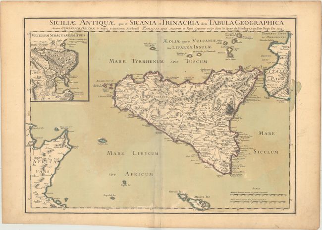
Subject: Sicily, Italy

Period: 1714 (dated)

Publication:

Color: Hand Color

Size:
25 x 18.2 inches
63.5 x 46.2 cm
Download High Resolution Image
(or just click on image to launch the Zoom viewer)

This large map is centered on Sicily during ancient times. It extends to include the Aeolian Islands, the southern tip of Italy, Malta, and a bit of the coast of Tunisia. The map includes details of the topography, including an erupting Mount Aetna and the roads, aqueducts, cities and villages. The harbor and city of Syracuse is shown in the large inset.

References:

Condition: B+

A nice impression on watermarked paper with original wash and outline color. There is offsetting and light toning along the centerfold and the edges of the sheet.

Estimate: $350 - $425

Sold for: $250

Closed on 9/12/2018

Archived